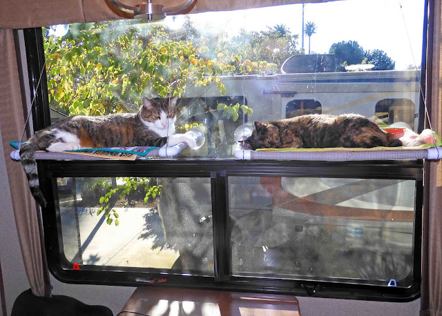
We had a really lovely last day in Escondido yesterday. Our plan was to hike out to the Lake Hodges Ribbon Suspension Bridge...a distance of about 3.2 miles out and back from where we parked. We had a relaxing morning, and the kitties shared their hammocks for a nice morning sunbath.
I'm hoping we'll have a morning sun exposure at our next stop, because the kitties have really enjoyed their mornings here.
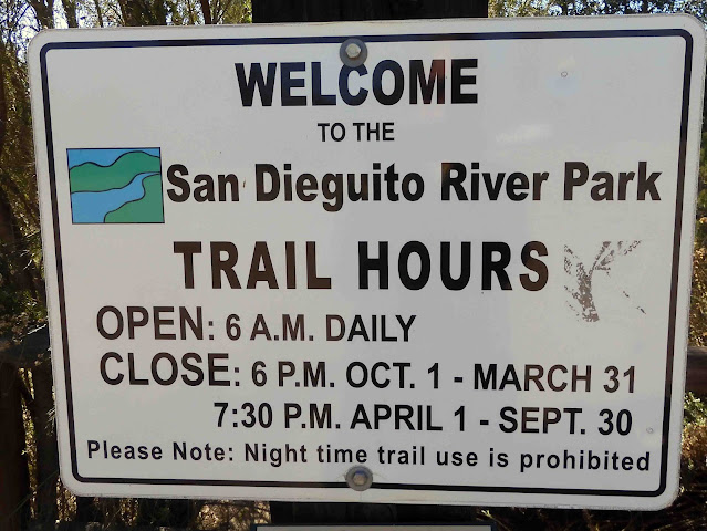
We had only a short distance to drive and found the parking lot easily.
There were some informational signs and this map of the Coast to Crest Trail. We only hiked the short distance you can see with red arrows on the right hand side of the image below. Bicyclists were out in force.
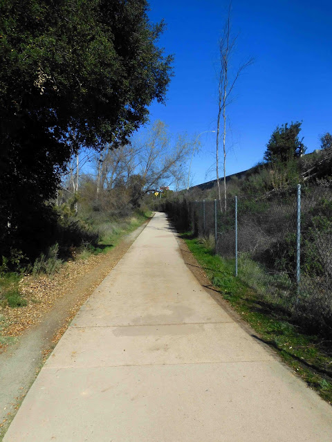
It's an easy hike on a mostly concrete sidewalk.
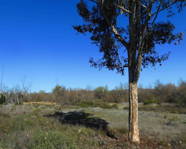
To our left was the San Dieguito River bed...dry right now. I imagine it's more scenic in the spring when things are greened up.
Before we reached the bridge, we had to walk under the I-15 freeway. If you're riding a horse, you'll need to dismount now. Of course, we had to slow our pace to keep within the 5 mph speed limit. 😁
And here we go...under the interstate. You don't see that every day.
Before crossing the bridge, there was a series of signs. I'm afraid I can't make them any more readable than you see here. Remember that you can click on the image to make it larger. But better yet, if you want to understand what makes this bridge unique, you can
read more about it right here.
This sign explains a little more about the advantage and necessity of the "stress ribbon bridge" design.
And here...a little more about how it is anchored in place.
And if you know nothing else about the bridge, know this: It is the world's longest stress ribbon bridge. Kind of makes you want to treat it with more respect, doesn't it?
And here's how it looked just before we crossed over.
It was warm in the sun, and there was a nice breeze once we got out on the bridge.
If you clicked on the link about the bridge above, you'll see there are times when there is a lot more water in the lake here. When Mike and I lived here back in the late 60's and early 70's, the lake was already a dry lake for most of the year. Occasionally, there is enough rainfall to fill it, but yesterday, there was just a little bit of water off in the distance. Plenty for ducks and geese, apparently.
I took this next picture of this couple on the sly. I told Mike I might not have broken my shoulder if we'd had matching getups like these...and the tandem bicycle probably would have kept me safe too.
On the far side of the bridge was this sign. Good old Arnold Schwarzenegger.
Crossing over, we saw these signs.
And here's the span from the far side.
That was as far as we wanted to go, and so we headed back across the bridge and back to our truck. Along the way, I noticed this series of benches.
These were somebody's Eagle scout project. I like finding these projects almost as much as I like finding something built by the
Civilian Conservation Corps during the Great Depression..
We enjoyed our hike, but we agreed it would have been nicer had it not been so darned close to the I-15 freeway. You can see in the image below that we were walking mere feet from the roadway, and it was *very* noisy. It's a little hard to get that "woodsy" experience when you have trucks and cars speeding by in excess of 70 mph. (And I'm being generous with that speed estimate. A lot of people are going a lot faster.)
As we reached the end of our hike, we came across the
Sikes Adobe Historic Farmhouse. Here's the accompanying plaque. You can read more about it at that link I've given you.
It was closed, and so I just stood at the edge of the property and took this photo.
To my right was the Sikes Creamery.
Beyond was this antique milk can. My maternal grandfather was a dairy farmer. We had one of these for a while. Mike painted it a bronze color, and we used it as a plant stand. I don't know when we discarded it, but I kind of wish we had it back now.
Across the way was a community garden, and you can see there's a tower with a large birdhouse there. The birdhouse has openings for both large and small birds.
It was a nice way to spend our last day in Escondido. Today we'll be moving on to Boulder City, Nevada. We have a few things planned for our visit there. We'll do some biking and some hiking, but mostly, we're just hoping to stay warm. I've also read about a quilt shop in Las Vegas that I want to visit, and so there's plenty on the horizon.


6 comments:
What I do is the opposite of building walls. I build bridges. A bridge is something that connects instead of separating. ~ Santiago Calatrava
Looks like a fun trek, although being that close to the freeway wouldn't be enjoyable. Looking forward to seeing what you find in Boulder City! Soak up some sun for me!
I'm traveling vicariously through your blog. Always great content! Imagine being a resident at the time the Sikes settled there. How glorious it must have been, with beautiful vegetation and climate, along with a sparse population! I lived in Sacramento and Half Moon Bay in the 70's and 80's. And also San Diego after WWII when my dad finished active Navy duty, returning from the Solomon Islands. But I was about 2 y.o. then, so no real memories. --from Annette in cold Omaha
Another interesting location.
The bridge was after my time in San Diego. If convenient, we may end up there for an excursion. Thanks for the information.
I enjoyed reading about your hike but it is a shame it was so close to a busy noisy road.
Post a Comment