
About an hour east of Death Valley lies the town of Pahrump. We've visited Pahrump many times before, and you might remember this is where Mike attended a Corvette driving school just after his previous retirement.

We stopped off in Pahrump just to buy groceries, but we'll be headed back here in about a month. Erik and Mae will be joining us for about five days. The weather back home has been positively awful, and so they'll be getting a little respite from the rain, dark, and cold. Once we had our groceries, we were on our way again, heading south now. As we summited the Spring Mountains, we found snow off to the side of the road. In some areas there was significant accumulation, but the road was dry.

Eventually, the city of Las Vegas came into view. We joined the interstate system there at the southern end, bypassing the city for the most part.

Along our way, we passed several areas of Joshua Tree forest. I couldn't get close enough for a better look, but I believe they may be blooming. They are a type of yucca, and you can read more about them right here. Indeed, my skimming of that article tells me that they bloom February through April. We're heading to Joshua Tree National Park next, and so we might just get lucky.

Beyond the city and the Joshua Trees, we met up with the Needles Highway. One wonders if these pinnacles might be the reason for the name. The city of Needles, Nevada, is south of us here.

Rounding the next bend in the road, the city of Laughlin, Nevada, came into view, and that is where we find ourselves this morning.

We were heading to a state campground. Along the way, we saw Davis Dam. You can see better pictures and read more about it right here.

In just a few more miles, we reached Big Bend of the Colorado State Recreation Area. We'd hoped to camp here, but no dice. There were only 24 spaces, all first come, first serve, and we were too late to the party.

Anticipating this possibility, we'd already scoped out the nearest KOA, only about 4 miles down the road. Along the way, we saw the Colorado River, visible just above the guard rail on the right side of the image below.

Scan to the left in that image, and you'll see what appears to be a foot bridge crossing the river. We'll want to check that out.
For as much as I complain about KOA's, this one isn't too bad, although we are packed a little close together. It's not a good place for kitties getting out to walk, but the price is right at $25 per night...even less than we would have paid at the state park. On today's agenda, we'll head back to the state park. We can visit without camping and see what it's all about. Also, I've scoped out the nearest quilt shop in Roxy's Quilt & Sew. Her web presence would seem to indicate a brick and mortar store, but I always call ahead just to make sure I'm not happening onto somebody's quilting business and their private home. So we'll be here for the next two nights (three, if you include last night), which will give us plenty of time to explore. While we're here, I'll take a stab at catching you up on some of the sight-seeing we did in Death Valley as well.
You can see that Sadie is already completely stressed out by the rigors of travel.
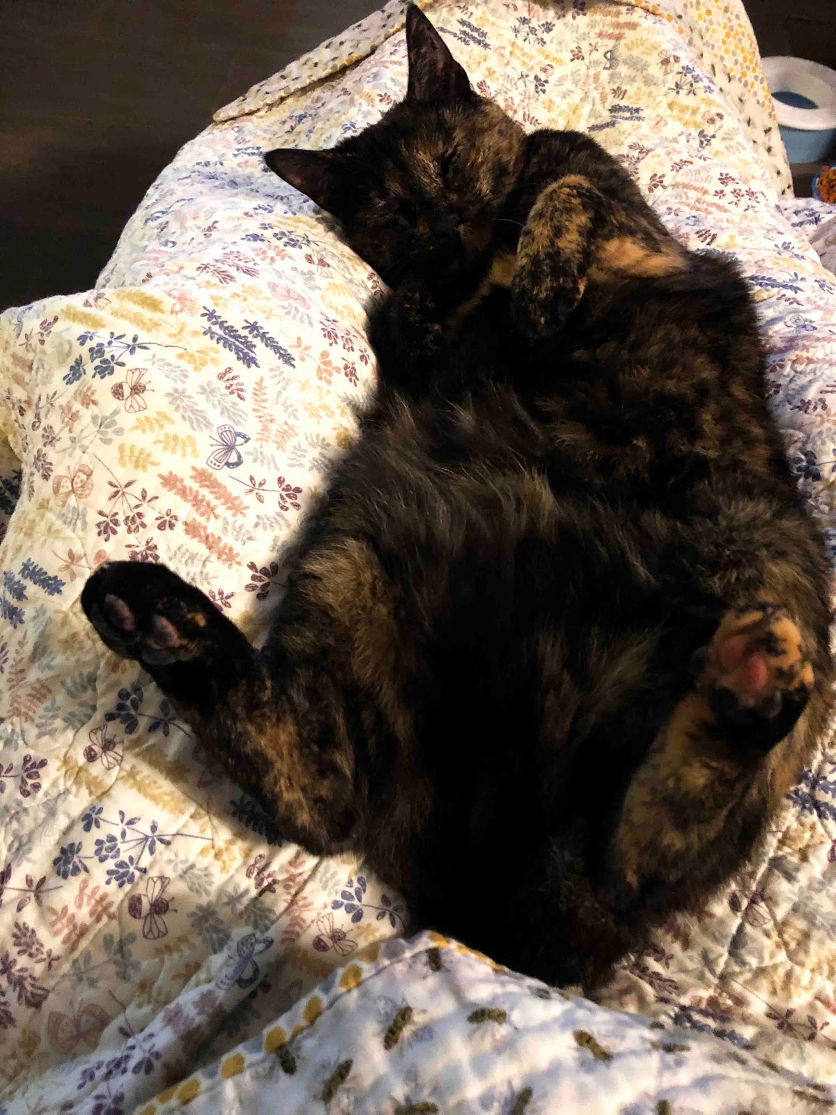
Torturing the cat is my new hobby. So I guess I'll get in a little more of that right now.
2 comments:
I’m so jealous of you getting to see even dribbles of snow...because as usual we don’t even get an overnight freeze. P.S. Molly enjoyed seeing Smitty show off his activewear line, but thinks Sadie’s loungewear seems a bit tawdry.
So fun! I'm working on a Joshua Tree quilt at the moment!
Post a Comment