Good morning, my friends. We find ourselves in Cantwell, Alaska, this morning, having driven about 150 miles yesterday. It was another day of spectacular mountain views. This is what we saw for much of the day.
We paralleled powerlines for much of our day's drive. I always like these towers that look like cats.
The first point of interest was the Alaska Native Veterans Honor Bridge.
It was one of several crossings of the Nenana River.
Here's what the Milepost tells us about it.
Here's a shot of the northbound bridge mentioned in the Milepost. This was taken through the window on Mike's side of the truck.
We crossed over a second time right here.
Here's what the milepost says about this bridge:
And sure enough...a long way down:
I couldn't get a good shot of it from the side, but I found this one in the public domain.
(Photo credit: "Nenana River Bridge - Moody, Alaska" by Timothy Wildey
is licensed under CC BY-NC 2.0.)
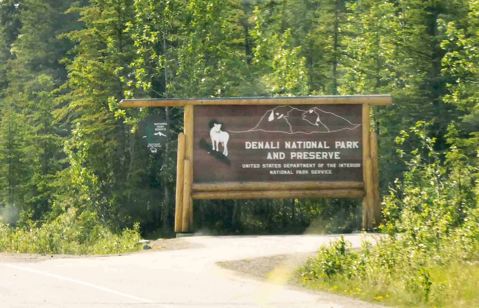
We passed by the road leading to Denali National Park and Preserve. We'll come back for this.
And some miles down the road, we entered Cantwell, our final stop for the day.
The sky was hazy and smoky for most of the day with periods of clearing. Still, the pictures of the mountains aren't as pretty as they might have been on a clearer day. This is the view from our back window.
Facing a different direction, it looks like this:
There are some pretty poppies growing among the wildflowers here.
There was almost no one in the park, and so we got Smitty out for a walk fairly early. I was glad we did because folks started showing up later, and that wouldn't have worked for him. He's a solitary walker...only Mom is allowed to accompany him.
Sadie stood look-out from the veranda.
He sampled some of this Pawlaska grass. It was his first taste. He told me it tasted fishy with a hint of moose.
Some white-crowned sparrows were very put out at having a cat wandering around in their midst. Probably they have nests nearby. This isn't a very good picture. I was using my phone.
But I found this one online.
The wind came up and helped blow some of the smoke and haze away. We decided to take a little drive down the Denali Highway to see if we could get a glimpse of the mountain. It was a pretty drive. We were ringed with mountain ranges. We have an idea that tallest peak just left of center might be Denali.
Or it could be that pointy peak left of center in the image below.
Looking south, we could see a glacier in the image below.
We hoped we might see moose or beaver at this river...this is the Jack River...but we saw none.
Looking in a different direction, it looks like this:
So I made a navigation error in choosing this place, although this is the same place I would have chosen had I not made some changes to our points of interest. Originally, we expected to see Denali (assuming it's visible) from the national park. Then, I read in one of the Facebook groups that the best place to see the mountain was from Denali State Park, south of where we're staying. My error was in thinking the state park was closer than it is. And, yes, I checked Google maps. I don't know how I made this mistake because it's clear as day how far it is.
We met up with someone at one of the rest areas who had an Alaska license plate. She showed us where we could best see the mountain at two spots: the North and South Viewing platforms along the Parks Highway. The problem is that the North Viewing platform is still 47 miles away while the South Viewing platform is around 70 miles away. It's too much driving for a daytrip when you add up the mileage both going and coming.
It's really not a big problem. It just means we probably stayed a day longer in Cantwell than we would have if we'd had the correct information. As it is, we'll visit the national park today, and then decide whether to stay another day for a hike or else just a day of rest. The weather this morning is overcast. We can't even see the mountains nearby, let alone the elusive Denali. The sky should clear around noon, and we'll head to the national park then. The other consideration is that we're expecting clear skies on Friday, and that would give us good conditions for seeing the mountain from the viewing platforms on our planned departure date.
And all of that to say we're in wait and see mode...emphasis on the "see." If we can get a good look at the mountain today, we may move on tomorrow, forfeiting one night's stay here. And if not, we'll stay the extra day and hope for good conditions when we move on to Talkeetna on Friday. It's good to stay flexible.


13 comments:
Your mountain pictures just take my breath away. How wonderful it must be to be seeing this part of Alaska in person. Thanks for the pictures and narrative you share with us.
Great mountain pictures and of the river. Sounds like a nice stopping spot. 😻
I'm enjoying following along with your trip on the map! When we were there, we stayed in both Healy and Talkeetna, so either side of where you are now. Aren't those mountain views incredible? Denali is taller than any mountain I have ever seen, and I live in Colorado! Hope the views are good for you this week!
I think these are the prettiest mountain views so far. Skinny Dick's (snicker, snicker) HALFWAY INN? Oh my gosh! Hilarious. Thanks, as always, for letting me vicariously travel with you.
Those mountains are magnificent and I'm enjoying the interesting bridges too.
Those poppies are stunning! Glad Smitty is enjoying the grass even though it did taste fishy (better than smoky!)
My husband wore his skinny dick halfway inn t shirt everywhere in the lower 48. Lots of comments. One restaurant in Portland, refused us entry.
The best place we every saw Denali was when we lived in Fairbanks. We never saw the mountain when we visited the national park.
If you drive back thru Fairbanks on way back to Oregon, you should stop at Chena Hot Springs and if you go thru Wasilla, the Iditarold Museum is interesting.
Poor Sadie. That photo of her made me chuckle though. What about a small crate you could put her in so she could nibble or sniff a bit of local grass? Her Houdini ways do her no favours. I’m enjoying your travels from the other side of the world (Australia). Kelly Hamlyn-Harris
What a fantastic trip you are having. Thank you for taking us along.
It's always good to have options. Hope the smoke clears for some good views!
Breathtaking views of the mountains, just awe inspiring. I’m so enjoying “our” trip :). We used an app that showed smoke & cloud cover when we visited Yellowstone last years because of the CA wildfire smoke. It helped plan but winds shift…..keeping my fingers crossed that “we” get to see Denali.
Beautiful country. Sorry about the navigation errors, it's easy to do when you don't know the area well. Hopefully you'll still find a way to get a good view.
Beautiful mountain views. Happy that Smitty good a taste of fish and moose grass. I will be going to Red Deer, Alberta on Saturday to have lunch with friends I met in Yellowknife 56 years ago. The distance will be 96.1 miles one way so I had a little chuckle at 47. Be safe and thanks for letting me tag along.
Post a Comment