Good morning, my friends. It was a busy day yesterday trying to achieve some level of normalcy. I'm happy to report that I'll be able to pick up where I left off when we were in our previous state of normal. Of course, "normal" is a relative term. There was a salad to make for last night's delightfully delicious dinner with Erik and Mae, then watering the thirsty flower pots, then...and most dreadfully...unpacking the RV. It's all done now. By late afternoon, I was able to sit and relax and take the first stitches on Mrs. Claus' Cookie Team.
And that's pretty much all I have to say about yesterday. So, let's just get into the time machine and travel back to last Tuesday. We needed to make a drive into town to pick up a couple of things at the grocery store...bread and eggs...and we needed some mosquito repellant for poor chewed-upon Mike. While there, we took a little walk along the waterfront.
There was a path laid out on the sidewalk with these pretty markers. There were different ones. Some of them were broken, unfortunately.
Looking straight out, we could see ocean-going vessels. One could board a ferry to British Columbia here.
Looking left, we saw this...more ships.
Looking right, we could see some buildings, including an indoor shopping mall and restaurant.
If you're thinking about going swimming, consider yourself warned.
We decided to walk to the left first.
As I've said before, show me a body of water, and I'll show you some Canada geese.
The big ship we could see in the distance was named "Cable Innovator." We believe this ship is used laying underwater cable...makes sense. After writing those words, I Googled it. Here's some
more information about it.
There was a row of memorial benches with art work, and named for different people.
One could sit and enjoy the day here, if they weren't so overgrown.
Of course, I took pictures of every blooming thing.
The daisies were sharing their space with some nasturtiums.
This appeared to be some kind of community art project.
And since it was possible to come and go between the United States and Canada, the border patrol was there.
We walked to the Port Angeles visitor information center. I appreciated the map they had showing where we were. In the map below, you can see where we are staying on the greater Olympic peninsula. Also, note the national park boundaries. It covers a good portion of the peninsula.
Here's a little closer shot of Crescent Beach, where the campground is, and the
Salt Creek County Park. We'll head over there in just a minute.
First we went inside to see what sorts of shops were inside the mall. There were some interesting works of art hanging on the walls. I thought this next one could be made into a quilt.
One of the shops sold art from local artists. It wasn't opened, but I caught these pictures of some cat art as we walked by.
This artist knows his or her cats.
Outside, there were more blooming things.
From there, we drove back to our campground, stopping off at the Salt Creek County Park. It was lovely there, and there was camping, both primitive and some partial hook-up sites for RVers.
It was low tide, and we wanted to explore the tidepools at Tongue Point.
When I saw this sign, I thought we might get a chance to see some seal pups, but no dice.
Okay, so we're about to climb down a cliff. Here are the ways you could die out here. And, please...mind your manners.
It was a bit scary getting to the tidepools, but not overly so. When we reached this area, I turned around...
to see where we'd come from. It was only scary because it was a little slippery.
There, it was impossible to maneuver without stepping on these
California mussels clinging to virtually every surface.
Here's a little closer shot of them.
The tidepools were a little disappointing. We didn't see much. Here, you can see the
Giant Green Anemones.
You can read more about them at the Wikipedia link I've given you back there. Here's the informational sign we saw:
This was some sort of little fishy. I can't identify it.
This is the leftover shell from a
Purple Sea Urchin. We didn't see any that were living.
Here's some other little stuff I can't identify.
This next one is a
Mossy Chiton. I'd estimate it was about 6 inches long.
This was the informational sign about it, but I've also linked to its Wikipedia page above the image.
We found a small natural bridge. There were kids running all around here.
As we made our way across the tidepool expanse, we could get a view of the location of our campground. Now we're standing out where the island is.
Looking across, we could see the western shore of the Crescent Beach area.
In this next image, you can see the island at low tide. At high tide, the area in the middle is submerged.
Looking back the other direction, we could see this:
There were boats of all sizes in the water.
We climbed another cliff to get back up to the campground area. There, we learned this area had been a large port city at one time...larger than Port Angeles.
There was too much information here to post all of it. If you make the image above larger, you might be able to read about it. You can
read more about it right here. In the image below, you can see the city that once thrived in the area where we were camped. Nothing remains of it now.
Walking back to our truck we marveled at the loveliness of the day.
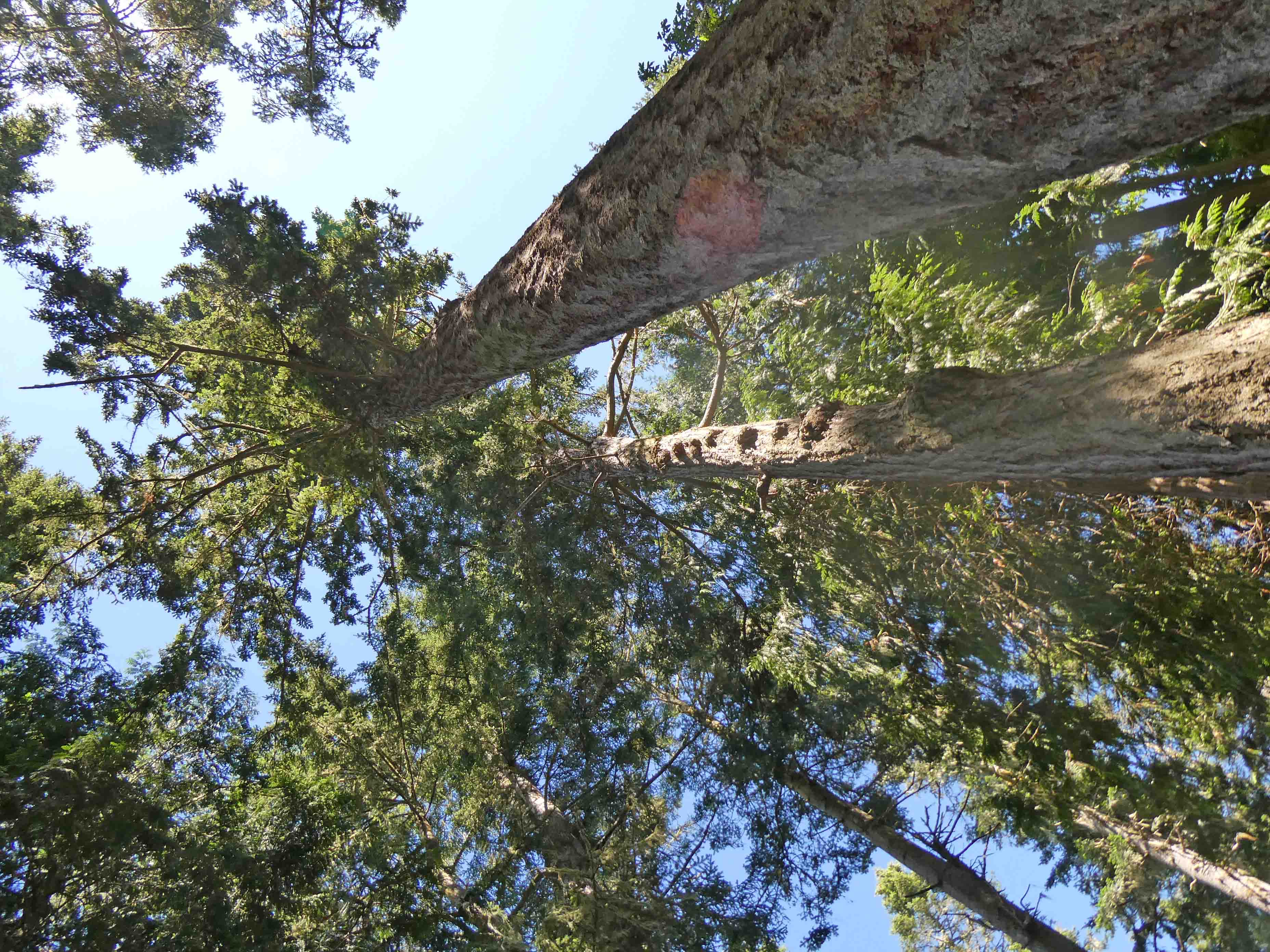
Looking up, we saw this:
Below, we passed by a patch of
salal berries. These are edible, and we've had them in a certain Cannon Beach restaurant. These are still green. They turn purple when they're ripe.
Okay, and from there, we headed back to the RV for some lunch and naps. Later in the day when the tide came in, we walked back to Crescent Beach. Mike was all set to fly his drone out to get an aerial view of the island. Fog was forming on the Canada side.
We were disappointed when the drone refused to fly. As it turns out, this is a "military area" and a no-fly zone. Bummer. These structures on the beach began to make sense then. There was, of course, a Coast Guard presence here. We believe this beach is probably used as a training ground. I'm not an expert on this, but I'm told they'll drop a swimmer in the water and have him (or her) swim to shore on a survival practice mission. This was the structure I used for my quilt's glamour shot.
Here was someone else's attempt at a shelter.
And there were others on down the beach.
Okay, so I've been at this for a while. It's time for breakfast. In my next time traveling post, I'll tell you about our day driving up to Hurricane Ridge in Olympic National Park, and about the lavender farm we visited in Sequim.
Today I should be able to get back to sewing the borders on the Ties & Tails quilt. There are three borders to add, which is my second least favorite part of quilting. (My first least favorite part is making quilt sandwiches.) I don't know if I'll get them all done today, but it would be pretty great if I did.


5 comments:
A rising tide doesn't raise people who don't have a boat. We have to build the boat for them. We have to give them the basic infrastructure to rise with the tide. ~ Rahul Gandhi
Lovely virtual tour--thanks so much--such lovely shore wetlands...
Mrs. Claus' Cookies looks like fun to embroider!! We are huddling inside during this heat/humidity wave we are having... 87 degrees at 11 a.m. with 75 dewpoint--yuck!!
Hugs, Julierose
Thanks for the tour. It looks like a nice place to explore!
Beautiful photos as always. It's been nearly 50 years since I've seen the Olympic peninsula so these are very special.
Looks like a pretty idyllic place, mosquitoes notwithstanding. It seems to have a small-town vibe to it and quite rugged in spots.
Post a Comment